openindexmaps-workshop
Index Maps
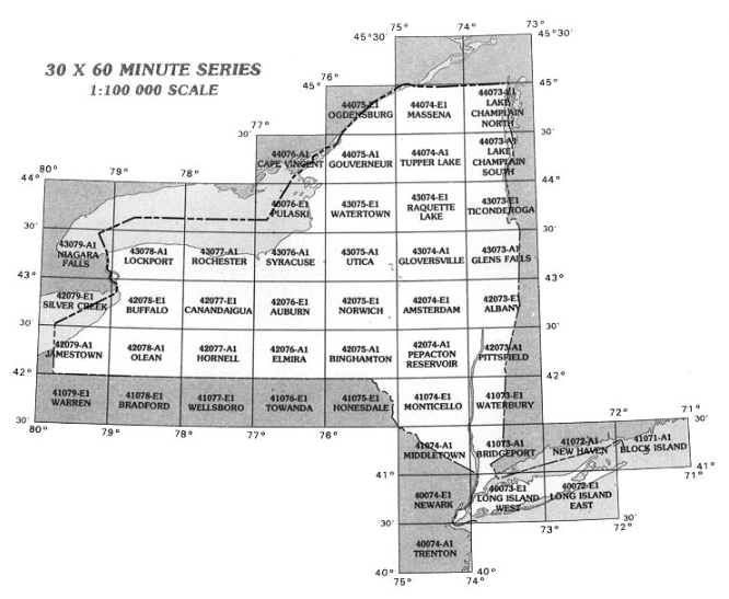
An index map provides a map-based guide to finding individual maps or datasets in a series based upon their location. They can be grid-like, with each rectangle representing a separate topographic map in a series, for example:
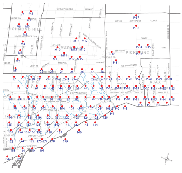
Or they can be point-based, with each point in the index referring to the approximate center of an aerial photo:
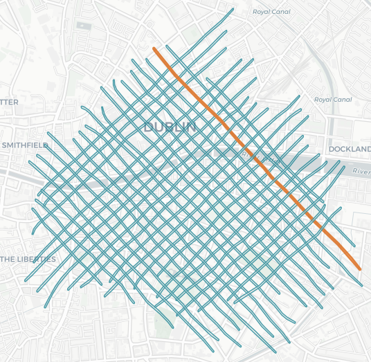
Or they can even be lines, each representing a LiDAR collection flight line:
Next: OpenIndexMaps