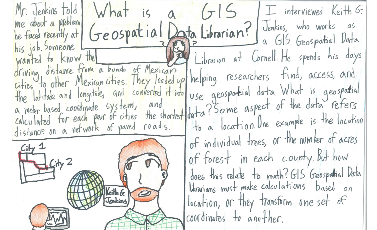
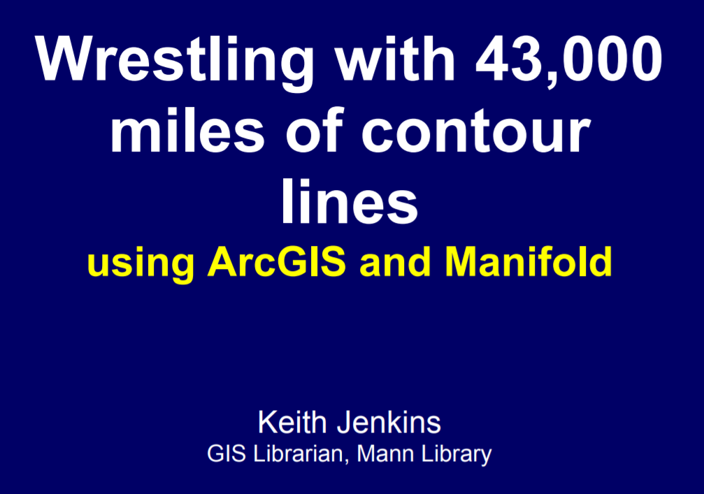
Supporting QGIS at an Academic Library
Keith Jenkins
Keith Jenkins
GIS Librarian
Cornell University
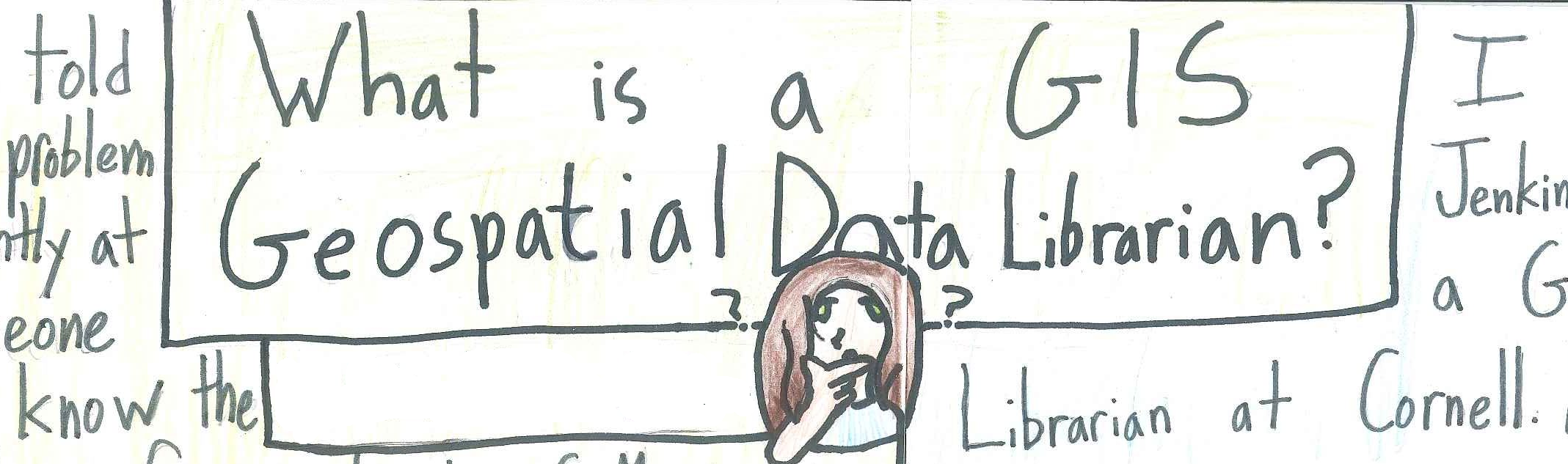
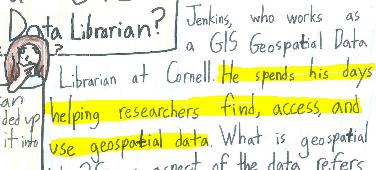
What does a GIS Librarian do?
"researchers"
undergrads, grad students, faculty, staff, community
Natural Resources, Soil and Crop Science, Animal Science, Plant Pathology, Horticulture, Landscape Architecture, Sociology, Economics, Public Policy, Government, City and Regional Planning, Architecture, Classics, Archaeology, etc.
"find data"
google
CUGIR = PostGIS + GeoServer + Solr + GeoBlacklight
"access and use data"
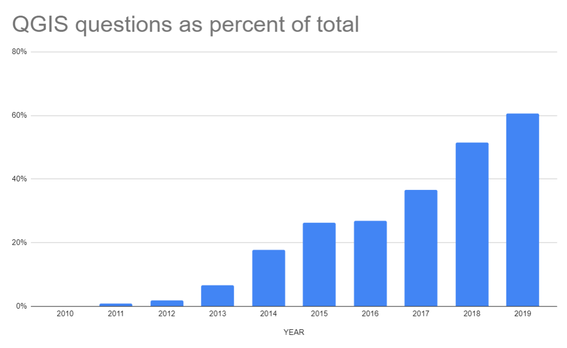
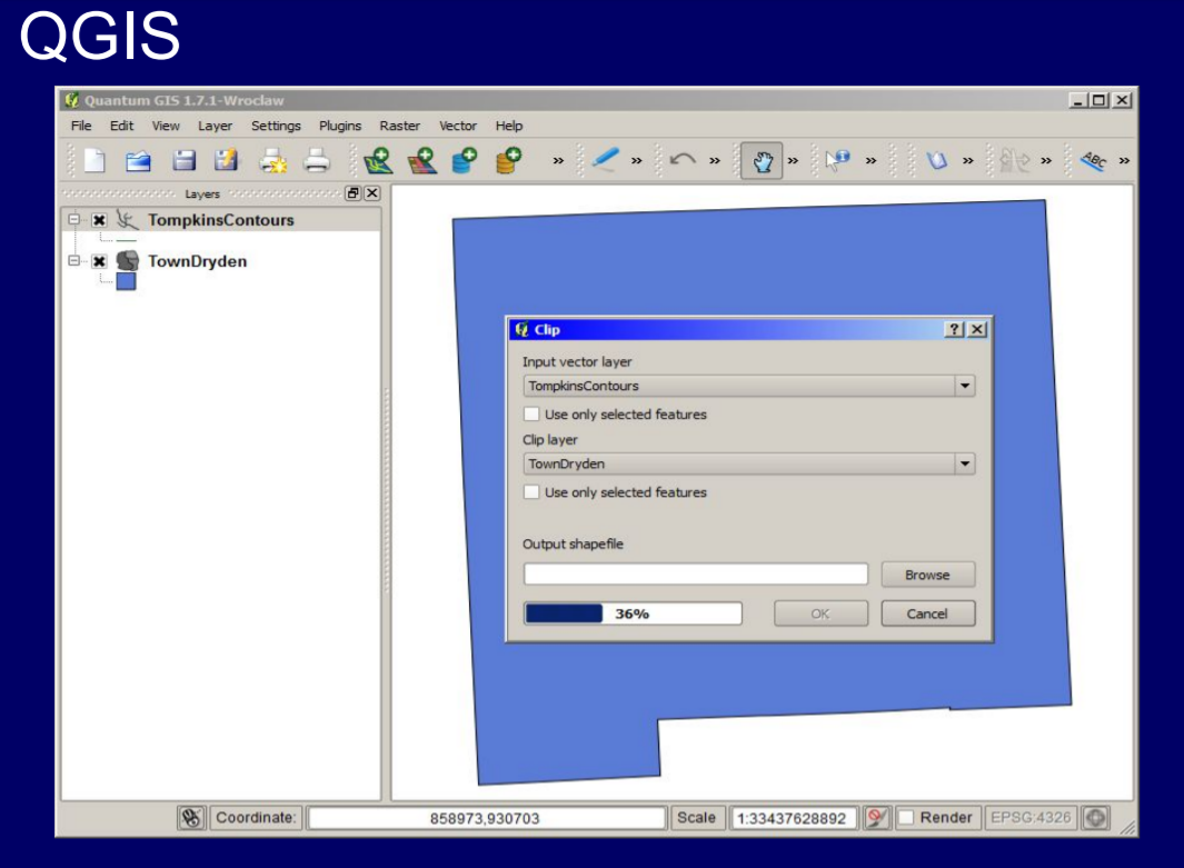
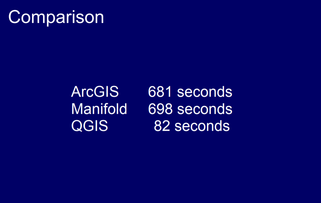
QGIS
QGIS user since 2011
GIS Day 2011
GIS Day 2011
GIS Day 2011
GIS Day 2011
GIS Day 2011
Sept 2013
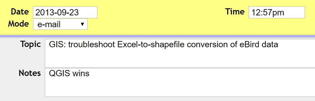
Sept 2013
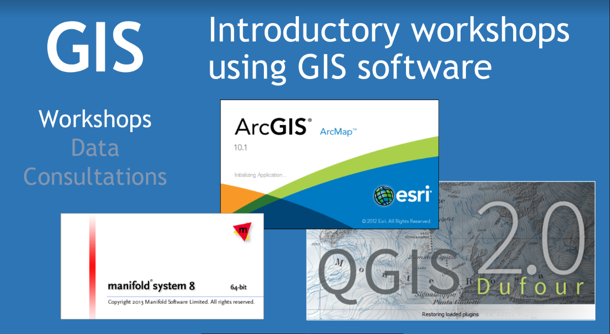
Spring 2014
Offered 1st QGIS workshop at Cornell
How we use QGIS
- Exploring data
- Editing data
- Analyzing data
- Mapping data
Exploring Data
QGIS starts up fast
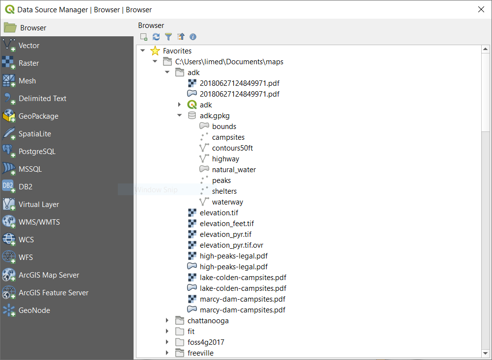
Drag-and-drop files
Data source browser
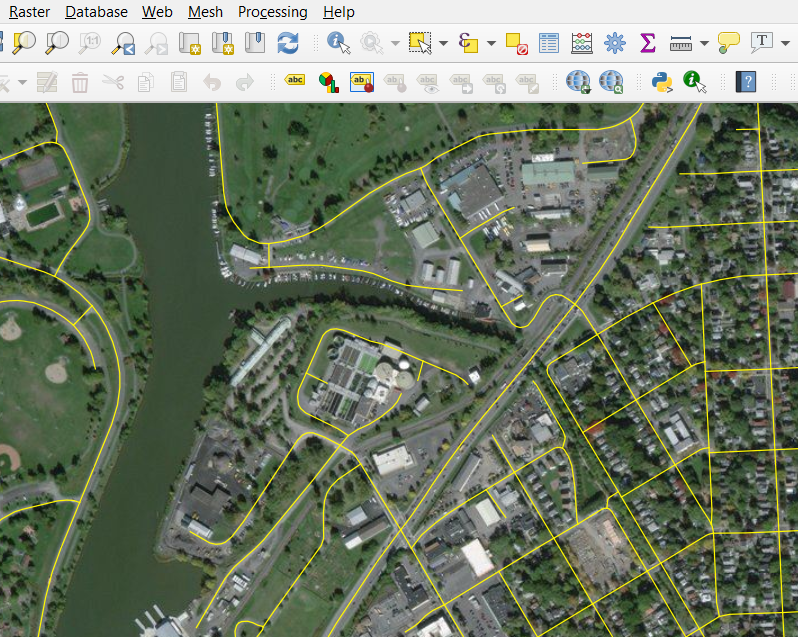
QuickMapServices plugin
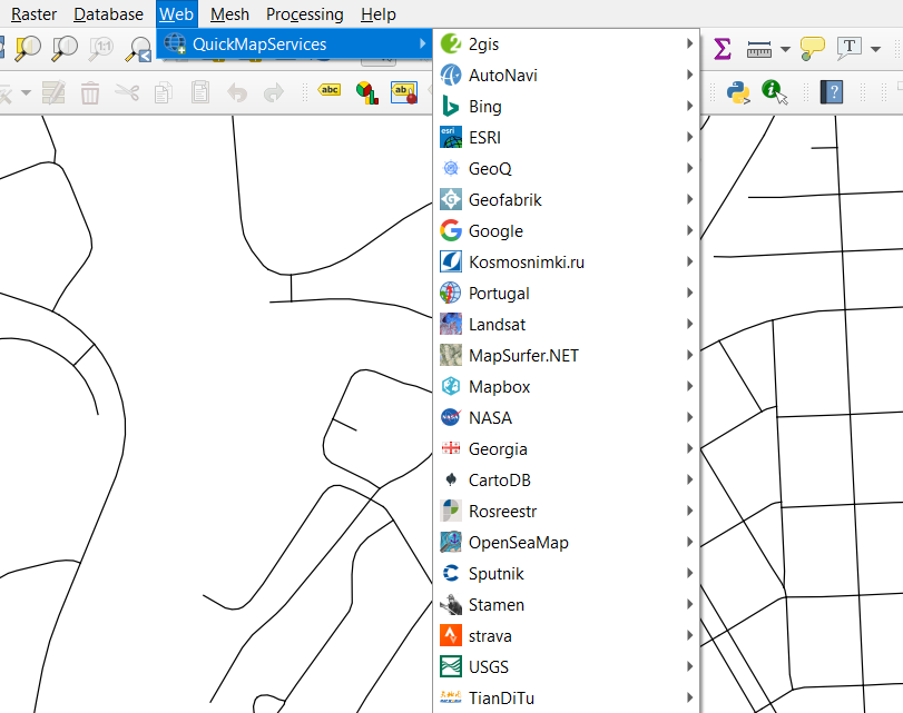
QuickMapServices plugin
type 'world' in the coordinates display
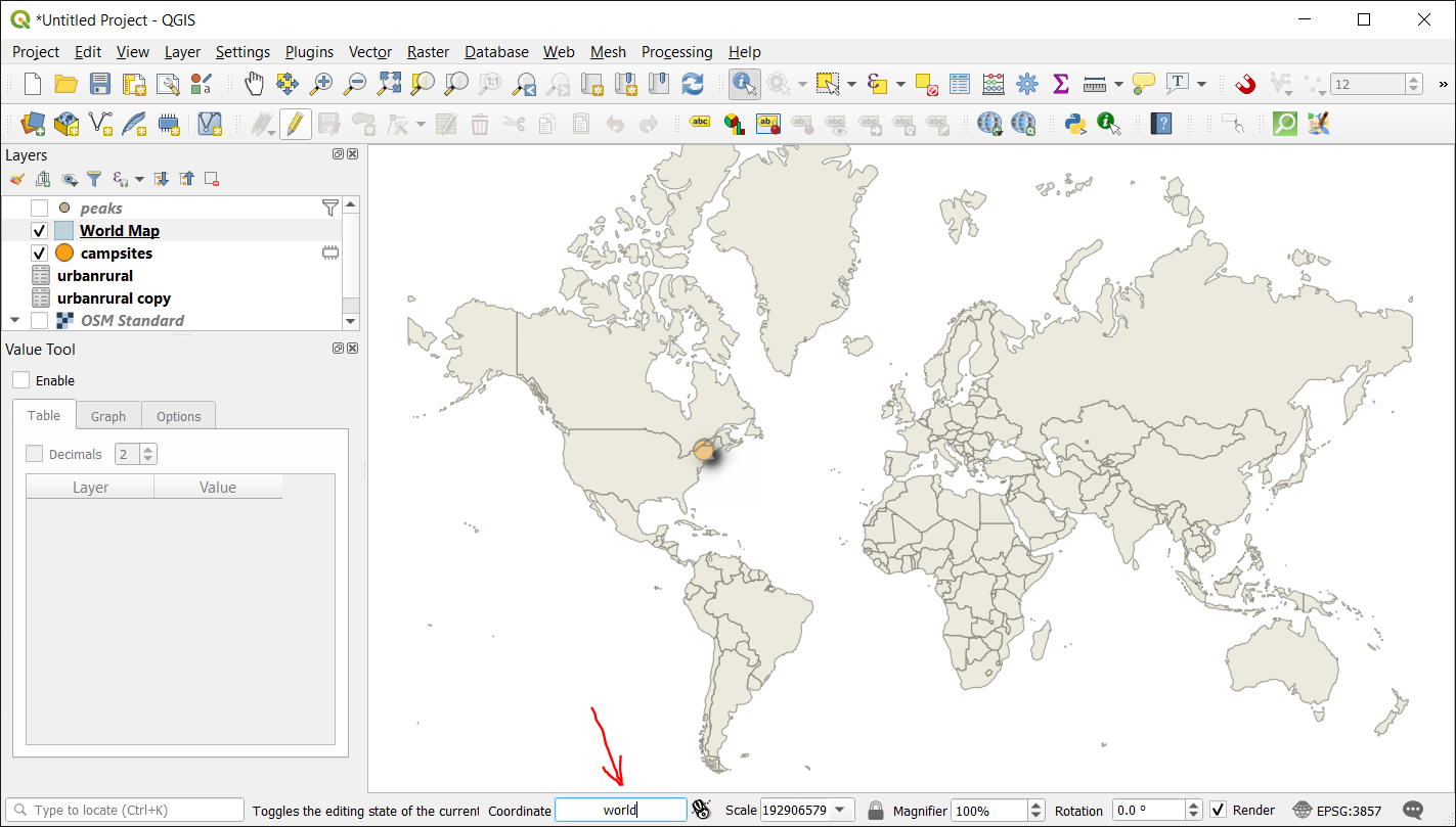
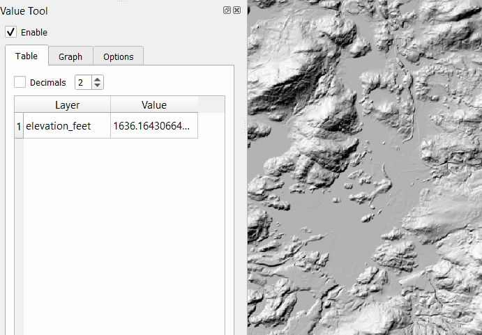
Value tool
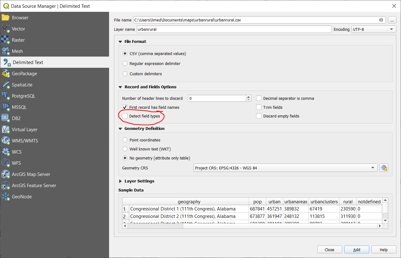
Delimited text
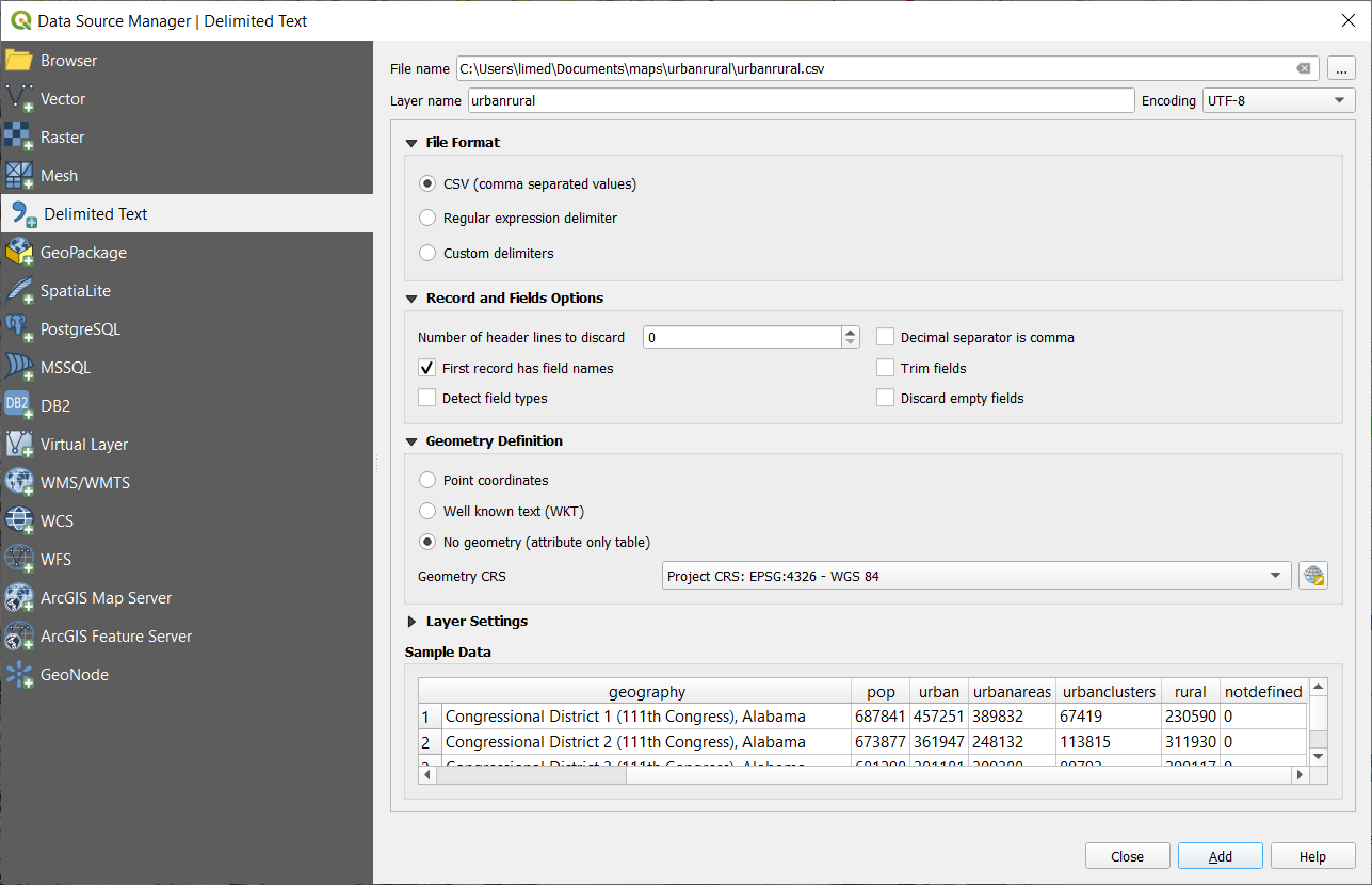
QGIS ♥ tables
Do no harm
toggle "detect field types"
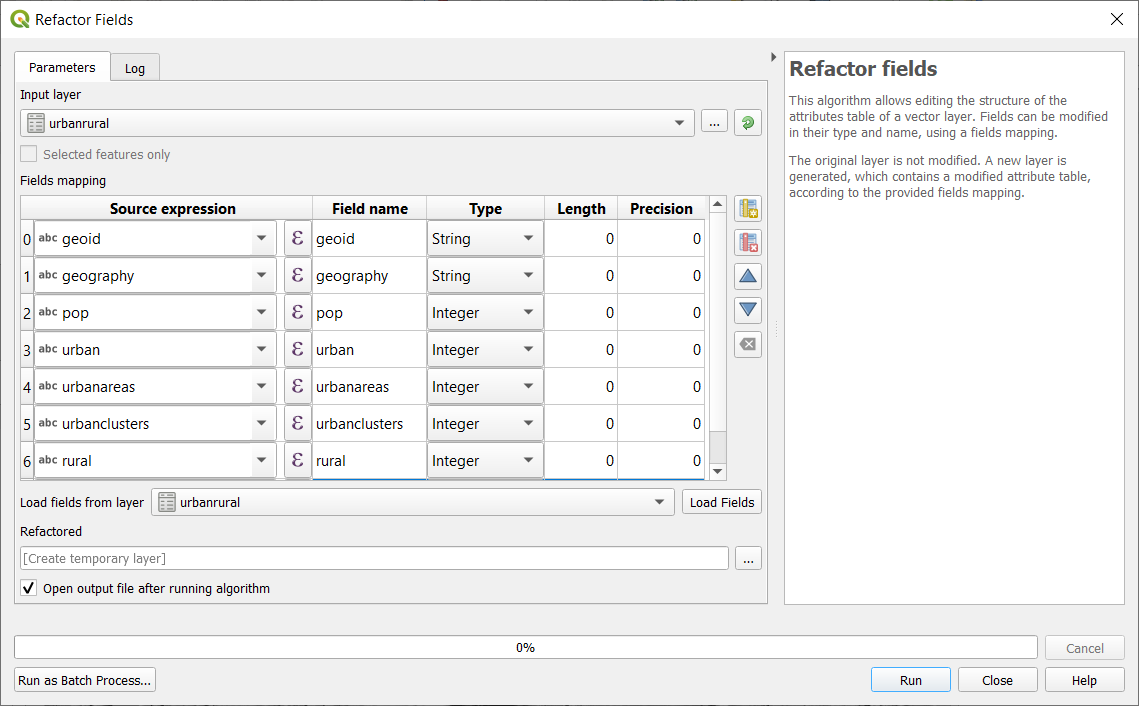
Refactor fields
QGIS respects Excel (.xlsx) data types
Virtual Layers
Editing Data
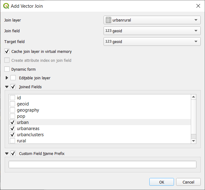
table joins - you don't have to join every field!
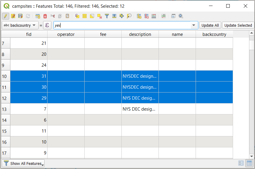
update selected features
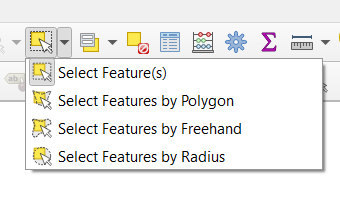
Selection tools
Graphical selection tools
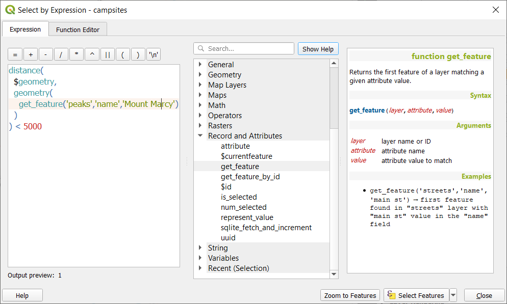
Powerful expression editor
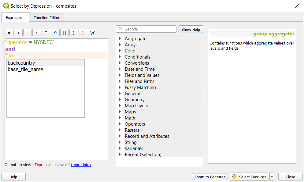
VERY! powerful expression editor
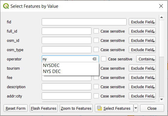
Simple (yet powerful!) select-by-form
Copy and paste to new layer
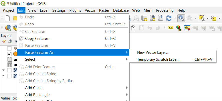
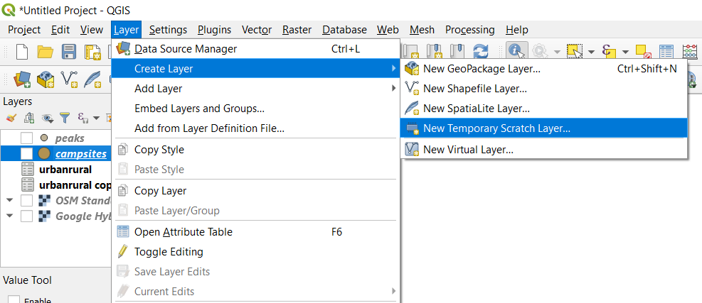
Temporary Scratch layers
Analyzing Data
Processing Toolbox
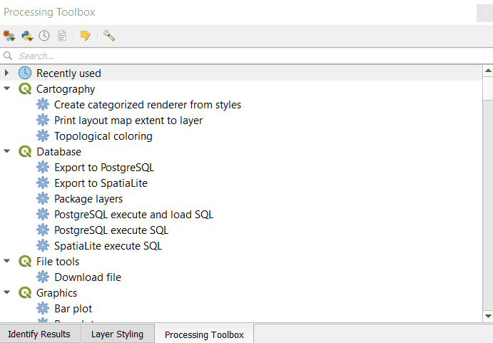
temporary outputs
won't clutter up your drive
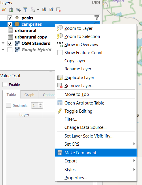
temp layer - make permanent
output to gpkg
Mapping Data
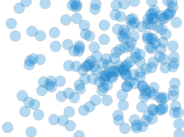
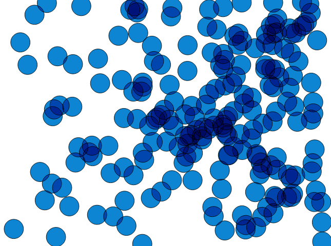
Overlapping features
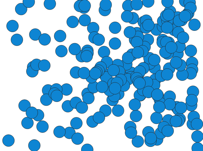
Typical layer transparency

Feature-by-feature opacity
Blending modes - multiply
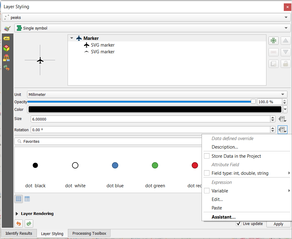
Data-defined overrides
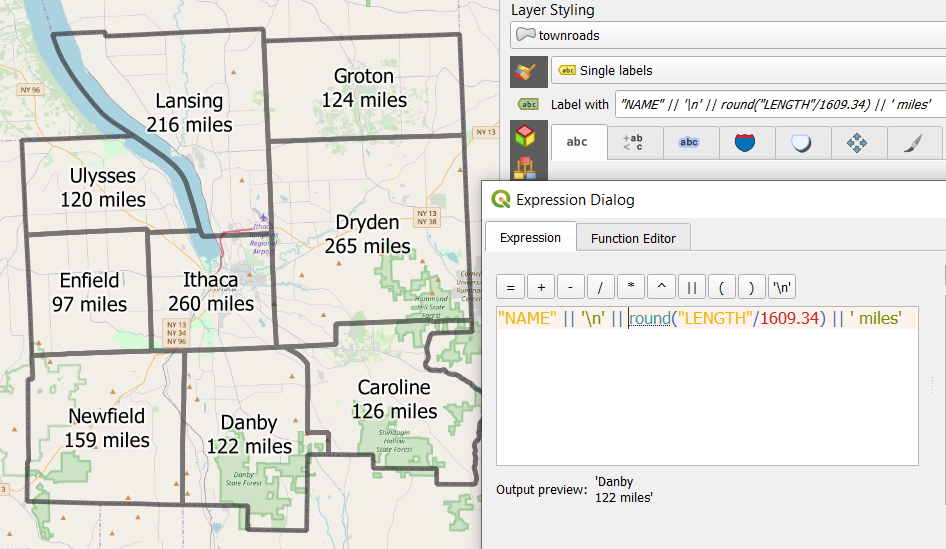
Label Expressions
Draw effects...
Drop shadow
QGIS is great!
Contributing back to the QGIS project
Teaching QGIS workshops
QGIS support at our GIS Help Desk
New releases every 4 months!
Longitude
Latitude
Gratitude